Hiking Trail HK is a Hong Kong hiking mobile app. providing offline map and over 100 hiking trails in HK, and supporting route drawing/sharing, route length/gain/loss calculation, time estimation, GPS location, compass, track logging, deviation alert, and etc.
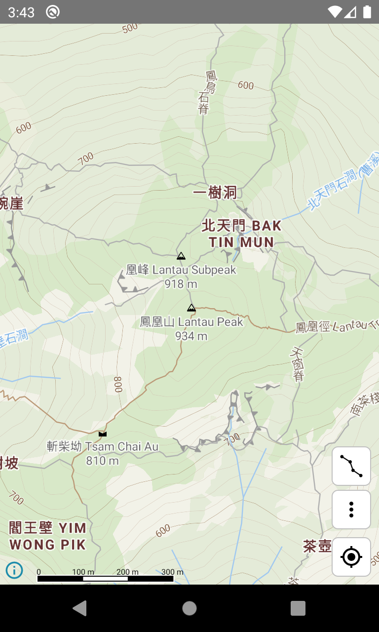
Offline map with contour lines
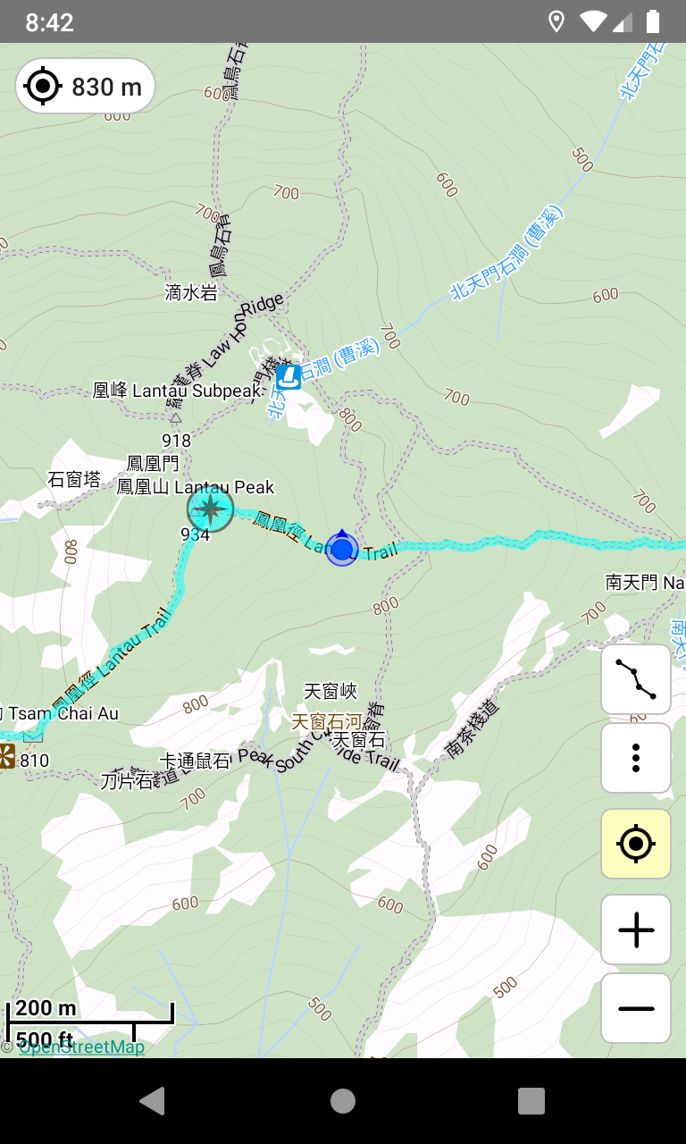
With Hiking Trail HK, you can use the map anywhere without data connection. Plus, you can find many mountain paths in the map. (1)(2)
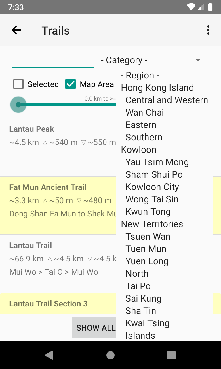
Find hiking trails in a region
Want to hike in a certain region? With Hiking Trail HK, you can find trails around a region or the map area. You can check the difficulty using the elevation profile. Trail descriptions can be obtained via some web page links. (3)(4)
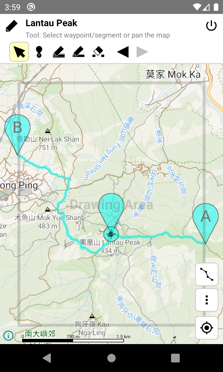
Want to draw your own route? After using Hiking Trail HK, you will find that it is a piece of cake. Just move your finger along some ways in the map, and mark several points of interest, then you have your own trail.
After selected a trail, Hiking Trail HK will show its route and waypoints in the map. If several trails are selected, they are shown in different colors. (7)
Calculate route length, elevation gain/loss, and estimate time
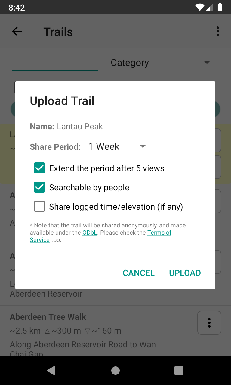
How long will a hike take? Just select the start and end points of a route, and enter your speeds, Hiking Trail HK will estimate the time for you.
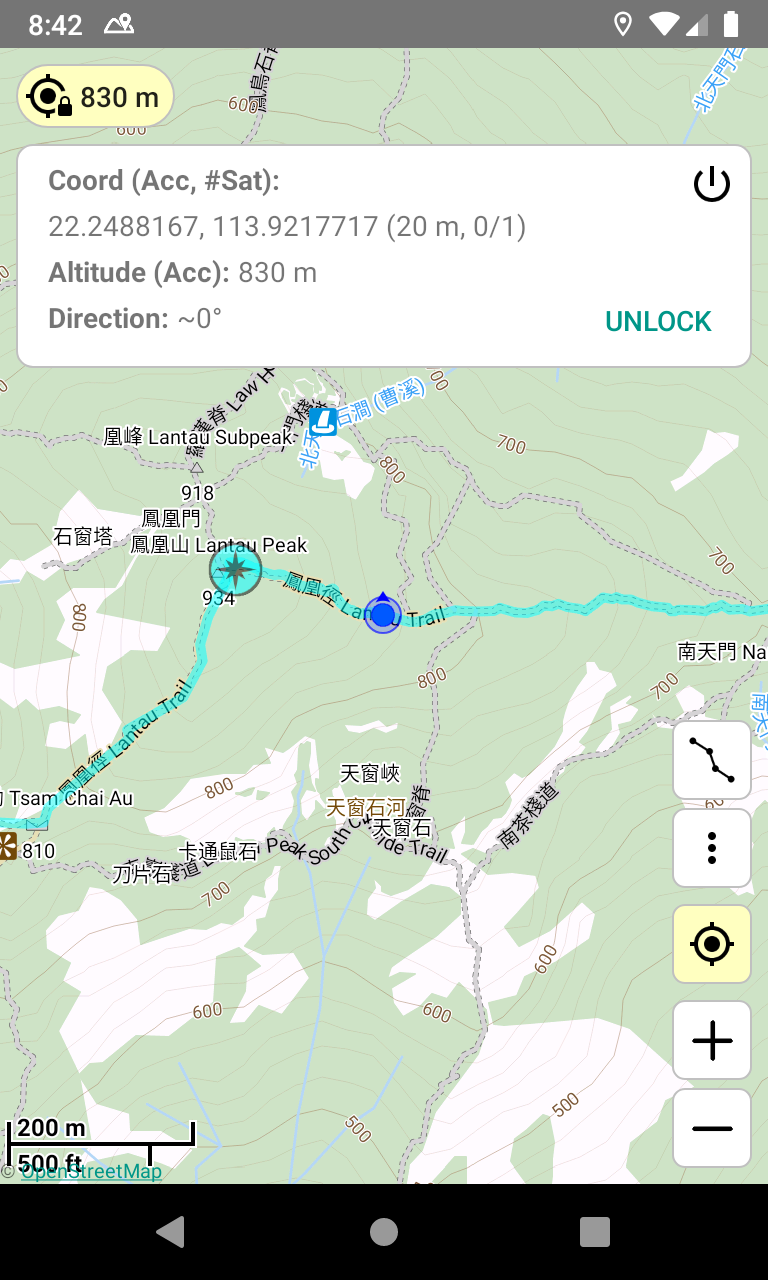
It may take a long time for GPS to get the position if there is no data connection. In this case, the "Lock GPS" function provided by Hiking Trail HK can help you. After locked GPS, GPS will keep open even if the screen is off. So that you can see your position immediately the next time you open the map. (9)
The "Track Logger" will show your track in the map, so that you can get back easily when you get lost, or check the time when you reached a place. (10)